Expo 2025 Participating Countries World Map – Free Download
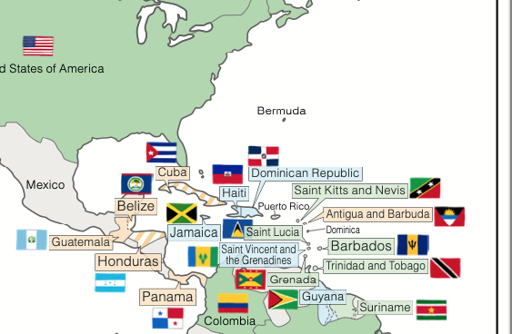
This world map shows the countries participating in the Osaka, Kansai, Japan Expo 2025, color-coded based on the zone of their pavilion at the Expo site. Even if you’re not familiar with world geography, this map helps you visually understand the distribution of countries across different zones.
You may download and use this for personal use only.
Japanese Version Here – 日本語版はこちら
Download Files
Image File (PNG)

Print-Ready File (PDF)
A3 Size EXPO2025_World_Map_A3EN_v3_colorleaf_craft.pdf
A4 Size (Split version of A3; can be printed on two A4 sheets)
EXPO2025_World_Map_A4EN_v3_colorleaf_craft.pdf
Special Thanks
Map Data: Hakuchizu Senmonten https://www.freemap.jp/
Flag Illustrations: Irasutoya https://www.irasutoya.com/
Update Information
July 7: I mistakenly used the flag of Dominica 🇩🇲 instead of the Dominican Republic 🇩🇴. I sincerely apologize for the error.
May 22: After receiving a comment and checking again, I realized that the information I had referenced was outdated. The following five countries were missing from the map and have now been added. I apologize for the oversight and any inconvenience caused.
- Commons A: Grenada
- Commons B: Republic of Cabo Verde, Republic of Chad
- Commons C: Ukraine
- Commons F: Brunei Darussalam
Impressions
I thought the countries might be grouped by continent, but they are actually distributed across different zones. Seeing it visualized like this really gives a sense of how many diverse regions are participating.
©︎2015–2025 Color leaf craft